Projects |
|
|
Wetland Delineations & Preliminary Waters of the U.S. Determinations and
|
|
|
American Burying Beetle SurveysDuring "beetle season" (usually May to mid-Sept), we can perform presence/absence surveys of the federally-listed threatened American burying beetle (Nicrophorus americanus) on very large and small projects within suitable ABB habitat.
Assistance with construction monitoring to meet USFWS permit requirements is available. |
|
|
Endangered Species Habitat AssessmentCattails Environmental is experienced with desktop analysis using the on-line USFWS IPaC (Information for Planning and Consultation) Program to obtain Consistency letters and review project compliance with available USFWS Programmatic Biological Opinions on Final 4(d) Rules. We have also field-assisted other firms in assessing threatened/endangered bat habitat for multiple projects and assisted in characterizing ecological conditions of an American burying beetle mitigation bank in central Oklahoma.
|
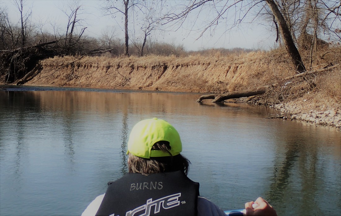
Shoal Creek, southwest Missouri.
|
Stream Survey & Environmental Feature MappingCattails Environmental coordinated a 55+ mile stream survey of bank stability conditions and environmental feature mapping effort to document current conditions on Shoal Creek in southwest Missouri. GIS data layer developed to assist in conservation and watershed-scale restoration efforts on the stream, a state Conservation Opportunity Area (COA).
|
|
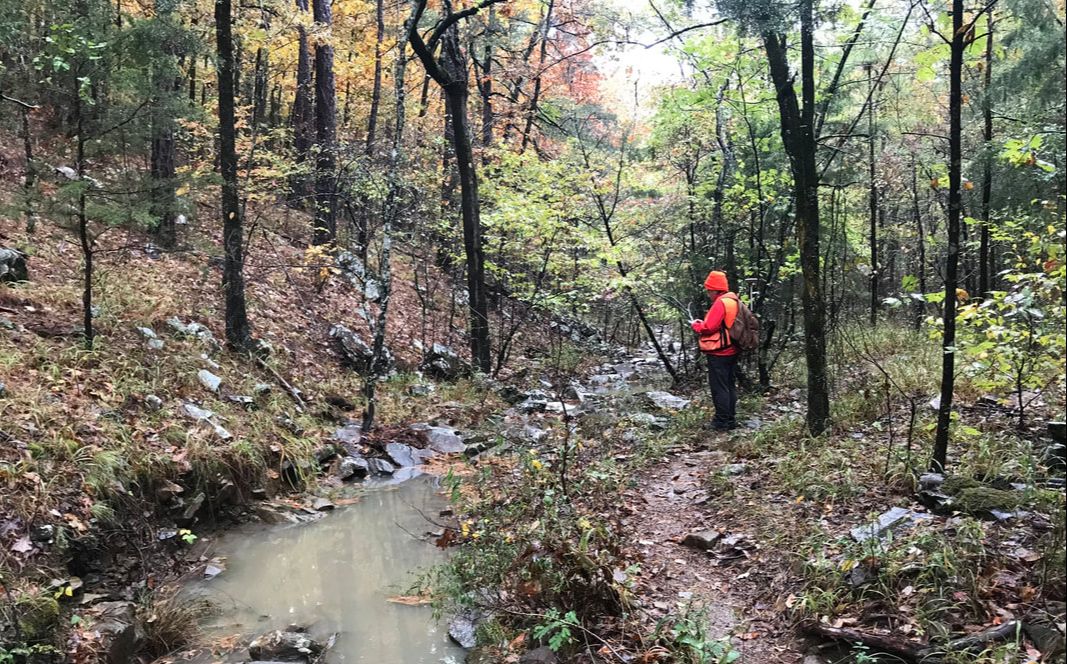
Trail Assessments & InventoriesCattails Environmental performed an assessment and inventory of a 77-mile long equestrian trail in the Winding Stair Mountain Recreation Area of the Ouachita National Forest in Oklahoma. Trail centerlines were collected at submeter accuracy to update digital data. Approximately 1,175 features were collected and compiled into a summary report with recommendations for prioritized remediation and maintenance to create sustainable trail conditions.
|
Research Interests
Thesis title - Changes in Watershed Land Use, Geomorphology, and Macroinvertebrate Assemblages in Clear Creek, Northwest Arkansas, From 1948 To 1999. This project involved aquatic macroinvertebrate identification and quantification, use of several biotic indices, and GIS mapping. Within the Illinois River watershed, the study stream was documented for areas of bank erosion and other degraded areas as influenced by adjacent land use.